Topographic Survey, As Build Survey and Underground Utility Detection Survey | Kalba, Sharjah Emirate, U.A.E
DEPARTMENT OF PUBLIC WORKS (DPW) has appointed SAMGEO For Surveying services & General Contracting L.L.C to perform a topographical survey, as build survey and underground utility detection survey for Ten 10″ governmental buildings and defined survey extend for the purpose of innovation. The project is located in Kalba, Sharjah Emirate, U.A.E.
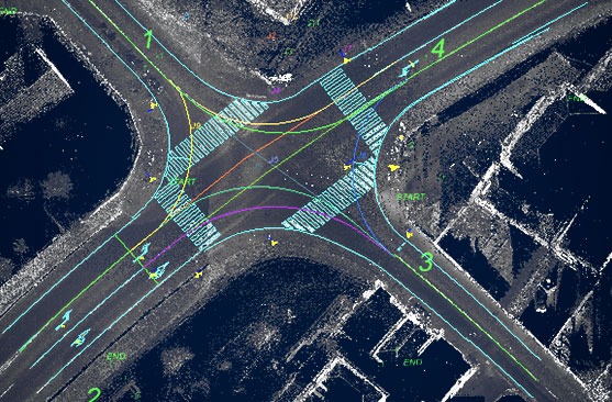
SAMGEO had utilized a Topcon Mobile Mapping System (MMS) IP-S3 model to carry out detailed 3D topographical surveys for the project extension. The system combines high-resolution laser scanning and precise positioning to collect geo-referenced point clouds
Survey inside governmental buildings was conducted using static 3D infrared scanning techniques. SAMGEO had scanned from accessible and safe locations that had provided visibility of the areas of interest. Areas that were not visible from these accessible and safe survey locations could not be captured. All areas that were captured in the infrared 3D scan data are visualized in 3D.